A route with gravel
| Round Lake Wilno Hill Turn by Turn Written | 7.2KB | ||
| Written route directions PDF | |||
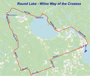
Round Lake – Wilno Hills Way of the Crosses
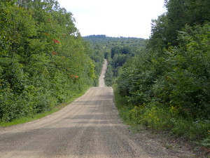
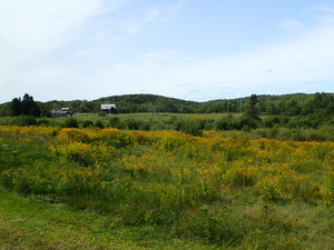
This is an approximately 70 km route suitable for bikes with 32mm or wider tires. It is over a mix of paved and gravel roads and through cottage country and wooded areas along the edge of Algonquin Park. The gravel roads were well maintained but wash-boarded on some hills. Traffic is light to non-existing along most sections BUT ALWAYS exercise caution as the entire route is open to and used by motor vehicles. There are some short but steep hills on the gravel sections.
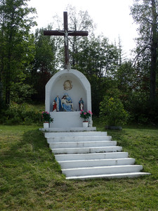
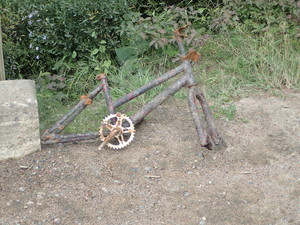
The Wilno Hills were settled by many immigrants from Poland and they brought with a strong Roman Catholic faith. Look for the many crosses and shrines that are found along this section of the route. Please respect them and all private property.
Parking and an excellent starting point is at the boat ramp park just off Highway 60 on Krantz Road. This is on the Bonnechere River just upstream from the north end of Golden Lake. Please obey the ‘No Parking’ signs and park where you will not block the people using the launching ramp.
Click here to download the route as a GPX file
Directions:
- From the park on Krantz Road head to Hwy 60 and turn left to cross over the bridge. On the other side look for Chapel Road to your left and make the turn. The quaint Deacon Chapel can be seen on your right. You only ride a short distance before you turn right onto Old Bridge Road which will take you to Traymore Road a few hundred metres ahead.
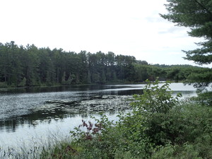
- Turn left onto Traymore Road. In a few kilometers Traymore Road will make a sharp left BUT you want to stay straight ahead on what looks to be the same road but what is now named Red Rock Road. You will follow this road as it winds along Round Lake.
- Watch for where a new re-routing of Red Rock Rd. called the Red Rock Diversion veers to your right, There is a fenced off portion of the original Red Rock Road on your left and a passage way through this fence that you can walk your bike through to stay on the less well traveled Red Rock Rd. OR you can go a very short distance on the Red Rock Diversion and take the cross over road on your left.
- When you come to Round Lake Road (County 58), turn left. This is a busy road but you will only be on it for about 3 km. Watch for Gunns Road, a gravel road on your right.
- Turn right onto Gunns Road and follow it as it snakes its way alongside the Bonnechere River to the intersection with Basin Depot Road.
- Turn right onto Basin Depot and then Left onto Paugh Lake Road crossing the bridge over the Bonnechere River.
- Paugh Lake Road will twist and turn towards Paugh Lake as you eventually leave the heavily wooded section and encounter a few residences along the way. Look for Wilno Road N. on your left and the first of many crucifixes at that crossroads.
- Turn left onto Wilno Rd. N. and follow it to the T intersection where Wilno Rd. N makes a sharp left turn. Make the left turn and stay on Wilno Rd. N. to the intersection with Scenic Road.
- Scenic Road will be on your left. Turn left onto Scenic Road.
- Scenic Road is, well scenic and mostly a straight and hilly ride to the intersection with Simpson Pit Rd.
- Turn left onto Simpson Pit Rd. a mostly downhill ride on smooth pavement to the intersection with Mask Road on your right.
- Turn right onto Mask Road and stay on it crossing Round Lake Road (County 58). Mask Road will end at Hwy 60 a short 2 km ride back to your starting point.
- Turn left onto Hwy 60 with its partially paved shoulders and ride app. 2 kms back to Krantz Rd.
Turn left onto Krantz and remember where you parked.
